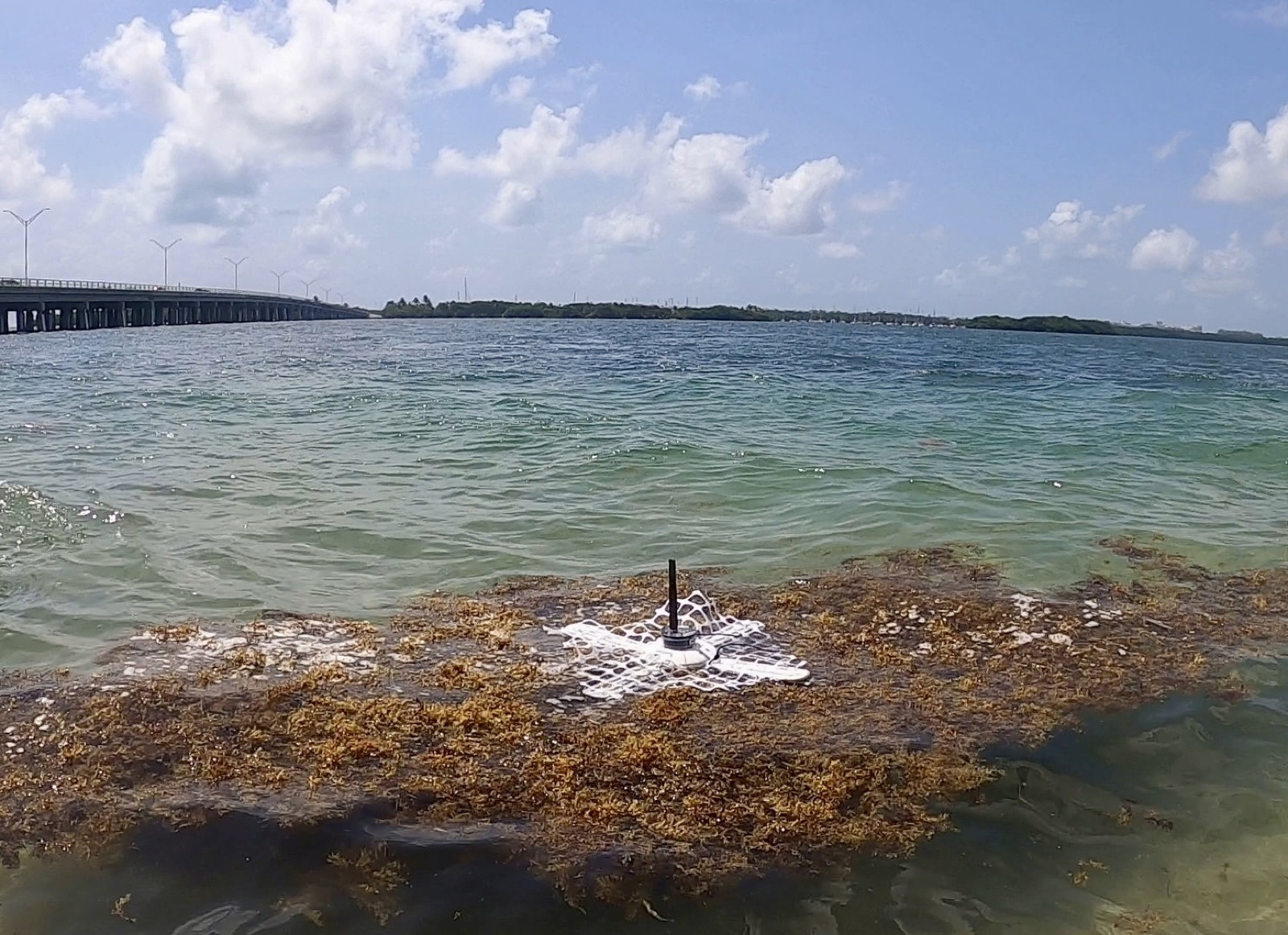
Two weeks ago we open-sourced the training kit behind our sargassum classifier. This weekend the next piece went in the water: the first sea test of the sargassum drifter prototype, off Miami, alongside the marine scientists who helped calibrate it.
What went in the water
The drifter is a low-cost buoy built to ride on a floating sargassum mat and report what it sees. Ahead of the test, every sensor on it was calibrated in a wave tank. On day one, each drifter reported, on a 5-second cycle:
- Position and drift: GPS fix, trajectory plotted live on a map, and speed over the water.
- Sargassum state: an on-board optical classifier deciding between three conditions, on the mat, off the mat, or out of the water.
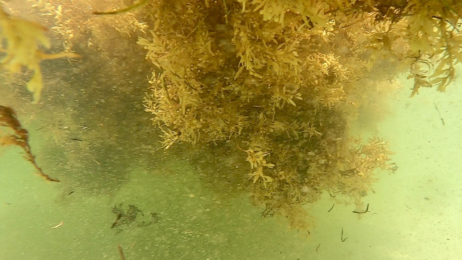
- The view below: photos from the submerged camera.
- Sea state: significant wave height and wave period.
- Water temperature, timestamped with every reading.
What day one was for
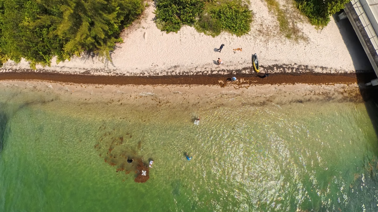
The plan was to sail out and find a substantial mat. The weather had other ideas, so the team worked small patches close to shore and concentrated on the questions that decide whether anything else matters: does the data move, and do the sensors behave.
It did, and they did. The full telemetry path ran live for the session, drifter to local receiver and drifter to cloud, all channels, at the 5-second cadence. Sensor accuracy gets a longer verdict once the wave-tank calibration data and the sea data are compared side by side.
What day two looks like
Weather permitting, the test moves offshore next:
- Find a substantial mat and deploy three drifters on it, then watch how they hold position as waves and local currents work on the mat.
- Fly Altametry's blimp over the same water to test aerial remote sensing at sea: imagery, sensors, and the communications link.
Why we're doing this
Sargassum arrivals are a coastline-scale problem across the Caribbean and the Gulf. Cities and resorts mostly find out a mat is coming when it lands on the beach. Forecasting landfall starts with ground truth from the mats themselves: where they are, how fast they move, and what the water is doing around them. The drifters exist to collect exactly that.
They also feed the same idea Hover is built on: put instruments in hard places, move their data in real time, and turn it into something a person can act on. A drifter on a mat and a drone over a farm are the same problem wearing different weather.
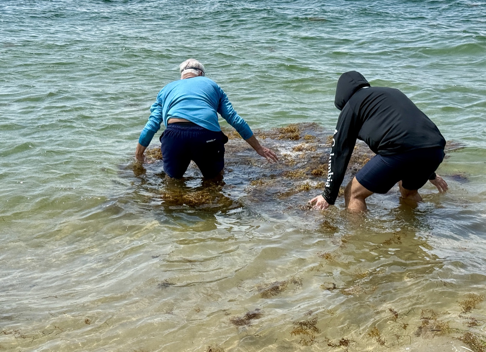
Thanks to everyone who got wet, and in particular to the marine scientists who ran the calibration and joined the test.
The classifier the drifters run is open source. Read how we built the training kit, or go straight to the repo.